
Sunday, January 2, 2011
Approaching 5 PM, darkness has closed in and the temperature continues to drop from today's high of 40.2 degrees. Two days in a row of springlike weather meant we were able to get outside and get a lot of things done that might have been saved for much later into winter.
Yesterday afternoon some friends invited us to join them for a walk at the Virginia Stranahan Memorial Forest off Hollister Hill in Marshfield. Although we had some sense of the background of the forest, we had never visited. The Stranahan family offered all 622 acres to the Vermont Land Trust that ultimately gifted it to the Town of Marshfield. An industrious crew has mapped the land, laid out trails and done a lot of clearing. The parking area is open, a sign and guide map station has been erected, road fill added, a security gate installed and trails have been marked and cleared.
Seven of us left the parking area about 1:30 and walked the first leg of the Forest down Thompson Road, part of which is also the Vermont Association of Snow Travelers trail. Gail provided some entertainment along the way as she had snow proofed her boots before the trip and apparently went a little heavy with the silicon spray which she learned should not be allowed on the bottom of the boots. Pirouettes may be classic ballet (?) as Gail demonstrated from the back of the pack but they really have no place in an early winter mountain hike.
 We took the first left which is the Sugar House Loop, a third of a mile long and climbing steadily uphill through some beautiful woods. Half way up the loop the old sugar house skeleton including evaporator pan lay on a rise, offering little to see but conjuring images of wood smoke and evaporating sap from bygone years. I stopped for a minute and my memory brought back the sweet smell of the boiling sap and the reminiscence of eating my first hard boiled egg directly from a wood fired arch.
Here and there large maples show leftovers from a pipeline system apparently used and in some places never recovered. One maple looked as if someone had cinched a belt tightly around it 4 feet off the ground as it grew around an old pipeline wire. The maples looked wonderful and Sara commented how straight they were and how far up they grew before any branches started.
 The topography of the Sugar House Loop is interesting because as you rise in elevation you can look down and see plateaus rising from the bottom as if someone laid giant steps up the mountain. Sugar maples prevail in this area accompanied by some very nice green ash, occasional white birch, more frequent yellow birch and towards the end of the loop, fir balsams and hemlock trees. Snowshoe hare tracks wind in and out red spruce and a minor number of striped maples. Coyote tracks passed through several places. Deer tracks were fairly common although we saw neither deer along the way nor any moose tracks anywhere. We flushed one partridge before the sugar house site and I saw only two red squirrels the entire afternoon. I was pleased not to see or hear any pileated woodpeckers. These are spectacular birds but they signal problems with sugar woods as they hammer away, eating insects from dying trees. I am all too familiar with their presence here on the Peacham Pond Road where our maples are in trouble.
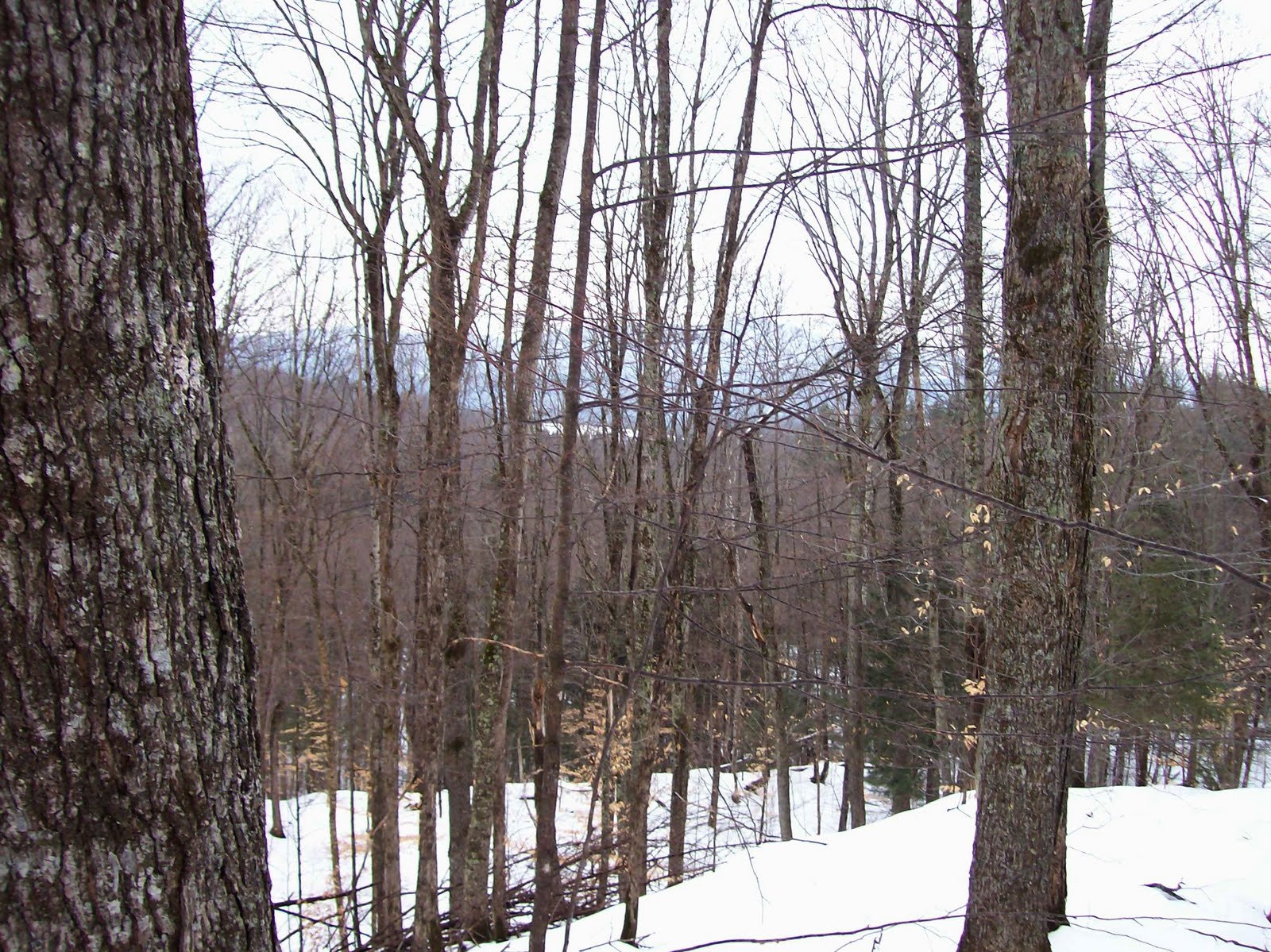 From the Sugar Woods Loop we jumped onto the Upper Sugar Woods Trail and from various vantage points could see Moon Field Trail and back in the direction of Eaton Cemetery and Route 2. The trees are thick enough that these are somewhat obstructed views but with the map you can get a good sense of how big 662 acres really is.
As the Upper Sugar Woods Trail heads downhill a bit you move onto the High Ridge Trail. There you meet Guernsey Brook, 5 feet wide and quiet this time of year as it eventually seeks to join Kings Brook before the two merge and head for the Winooski.
The end of High Ridge Trail is the commencement of Old Grist Mill Road. We stopped to observe what was apparently a grist mill at a small falls and then slid down the trail, parallel to the brook. Beavers had been here several years ago but were absent now. I stopped and looked back up to the waterfalls, now hidden in snow and ice. I snapped a few pictures and noticed how far behind Diana and I were from our quicker companions.


 Deer had been feeding on ferns along the swamp and their tracks were more prevalent in the lowlands. Coyote tracks passed in and out of the swamp as we headed down an easy trail, rejoined Thompson Road and returned to the parking lot.
Towards the end of Old Grist Mill Road I spotted something I had never seen in all my days in the woods. I hope someone out there with more experience than I have can identify this plant growing in the bark of a green ash tree. It appears they have a relationship going but it's not anything I can explain. Can anyone help? Replies appreciated. Click to enlarge.

As Gail and I drove away, we had a better sense of what 662 acres involves but we also knew what a treasure had been given to our town. Although we don't know the names of many of those involved in the project, we are grateful for their time and energy. This is a magnificent place! For more detail, go to the Marshfield, Vermont town website and click on Stranahan Town Forest
Writing from the mountain above Peacham Pond where the outside temperature has dropped to 29 degrees as the wood stove inside warmed enough to draw Karl the Wonder Dog to "snoring mode" in front of it.
Happy New Year!
George Africa
The Vermont Gardener
Vermont Flower Farm
Social Networking Works!
On Facebook as George Africa and also as Vermont Flower Farm and Gardens
On Twitter as vtflowerfarm
Vermont Flower Farm
Social Networking Works!
On Facebook as George Africa and also as Vermont Flower Farm and Gardens
On Twitter as vtflowerfarm
No comments:
Post a Comment